
Arrad Foot
Travel Guide


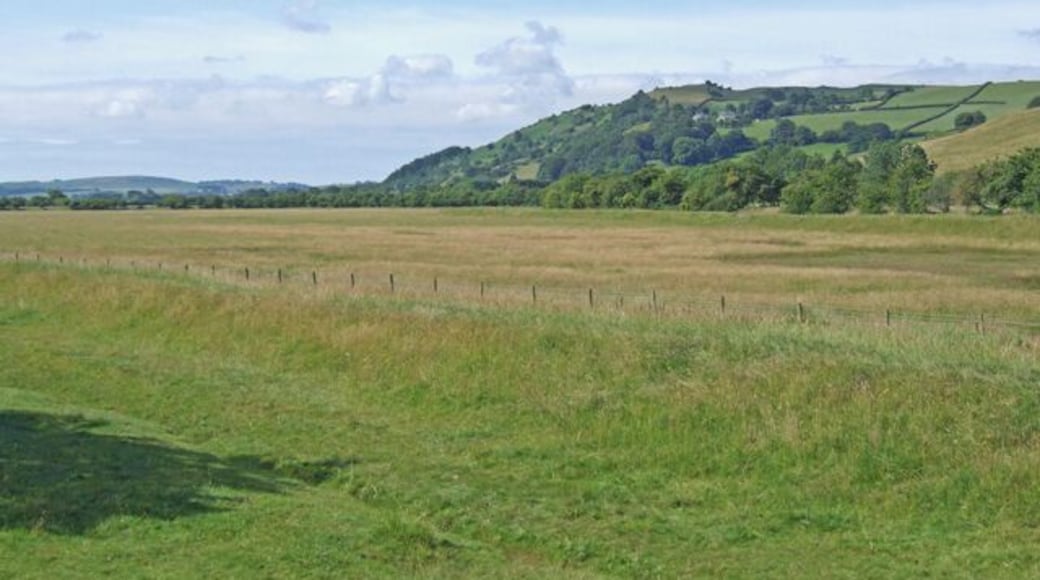
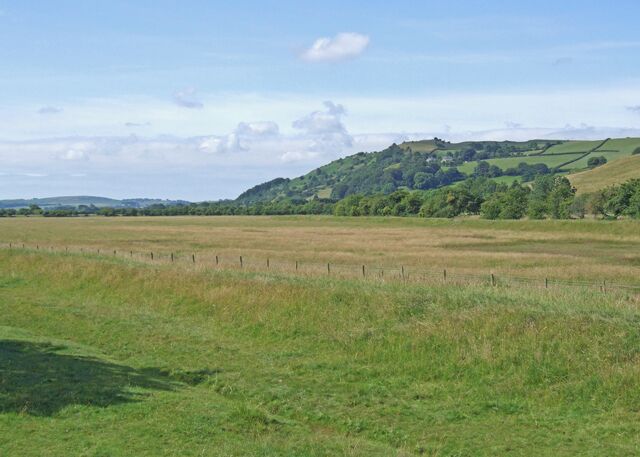
Visit Arrad Foot

Macdonald Old England Hotel & Spa
23 Church Street Windermere England
The price is ₩272,886 per night from Aug 11 to Aug 12
₩272,886
₩327,463 total
Aug 11 - Aug 12
includes taxes & fees
Book a stay at this spa hotel in Windermere. Enjoy free WiFi, a full-service spa, and breakfast (surcharge). Our guests praise the pool and the helpful staff ...
8/10 Very Good! (1,001 reviews)
"Hotel is in a beautiful location and grounds were lovely to sit in and relax. Excellent for getting to the key parts of Bowness especially marina for boat trips. Most staff were good - housekeeping, bar staff and some of the restaurant in particular, but Breakfast could have been served with a little ..."
Reviewed on Jul 14, 2026

Lakes Hotel and Spa
Kendal Road Windermere England
The price is ₩370,696 per night from Jul 23 to Jul 24
₩370,696
₩444,835 total
Jul 23 - Jul 24
includes taxes & fees
Book a stay at this luxury hotel in Windermere. Enjoy free WiFi, a full-service spa, and 15 hot tubs. Our guests praise the breakfast and the helpful staff in ...
9.6/10 Exceptional! (1,304 reviews)
"Location excellent, staff well trained and excellent. Room was very good. Outside area had great views but some stained seat covers and lots of cracked tiles. Spa was a waste of time as very busy and ended up just sitting in pool as all the jacuzzi areas full. Spa had lots of loose tiles around pool ..."
Reviewed on Jul 15, 2026

Beech Hill Hotel & Spa
Newby Bridge Road Windermere England
The price is ₩265,638 per night from Aug 10 to Aug 11
₩265,638
₩318,766 total
Aug 10 - Aug 11
includes taxes & fees
Stay at this hotel in Windermere. Enjoy free parking, 2 hot tubs, and breakfast (surcharge). Our guests praise the helpful staff and the comfy rooms in our reviews. ...
8.8/10 Excellent! (180 reviews)
"There was no fridge or safe in room. There was a bit of cold reception i.e. not very welcoming. Outdoor spa was off limits as repairs taking place."
Reviewed on Jul 14, 2026
Lowest nightly price found within the past 24 hours based on a 1 night stay for 2 adults. Prices and availability subject to change. Additional terms may apply.

Pine Lake Resort
Dock Acres Carnforth England
Book a stay at this spa aparthotel in Carnforth. Enjoy free WiFi, free parking, and a full-service spa. Our guests praise the pool and the restaurant in our ...
9.2/10 Wonderful! (1,507 reviews)
"Such a beautiful place accommodation and staff were amazing, but they’ve got to sort there beds out soooo hard like lying on a plank of wood for 3 nights"
Reviewed on Jul 14, 2026

1 Bed Flat - Sleeps 4 - Garden - Parking - Wifi
Lower House Fairfield Ambleside England
Stay at this cottage in Ambleside. Enjoy free WiFi, free parking, and a garden. Popular attractions Lake Windermere and Brockhole - the Lake District Visitor ...
10/10 Exceptional! (1 review)
Fantastic accommodation & location
"Amazing, the photos do not do it justice, lovely cosy cottage a home from home and fully equipped. Great location, short walk to village incl pubs and chippy, also access to walks (which pass through livestick fields so dogs on leads). Grizedale forest was a short drive away with really good (long ..."
Reviewed on Sep 15, 2024

Sun Street ApartHotel
31-35 Sun Street Lancaster England
Stay at this aparthotel in Lancaster. Enjoy free WiFi, a garden, and satellite TV channels. Popular attractions Judges' Lodgings and Lancaster City Museum are ...
9.2/10 Wonderful! (51 reviews)
"Perfect place for a short stay in Lancaster, very conveniently located"
Reviewed on Jul 12, 2026
Lowest nightly price found within the past 24 hours based on a 1 night stay for 2 adults. Prices and availability subject to change. Additional terms may apply.

