
Snarestone
Swadlincote


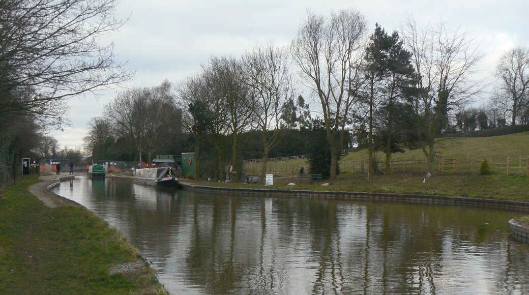

Visit Snarestone
Snarestone Hotel Deals

Genting Hotel & Spa at Resorts World Birmingham
Pendigo Way Birmingham England
The price is ₩123,932 per night from Aug 3 to Aug 4
₩123,932
₩148,718 total
Aug 3 - Aug 4
includes taxes & fees
Book a stay at this spa hotel in Birmingham. Enjoy free WiFi, a full-service spa, and 18 restaurants. Our guests praise the breakfast and the helpful staff in ...
9.2/10 Wonderful! (1,017 reviews)
"Staff were great, room was excellent, parking included in whatever package we booked was really convenient and safe."
Reviewed on Jul 26, 2026

The Arden Hotel & Leisure Club
Coventry Road, Bickenhill Solihull England
Fully refundableReserve now, pay when you stay
The price is ₩127,976 per night from Jul 28 to Jul 29
₩127,976
₩153,579 total
Jul 28 - Jul 29
includes taxes & fees
Book a stay at this family-friendly hotel in Solihull. Enjoy free WiFi, free parking, and breakfast (surcharge). Our guests praise the breakfast and the pool ...

Novotel Birmingham Airport
Birmingham Airport Birmingham England
The price is ₩144,183 per night from Aug 18 to Aug 19
₩144,183
₩173,020 total
Aug 18 - Aug 19
includes taxes & fees
Book a stay at this business-friendly hotel in Birmingham. Enjoy free WiFi, breakfast (surcharge), and 24-hour room service. Our guests praise the helpful staff ...
8.6/10 Excellent! (1,007 reviews)
"Sadly our experience was poor. We stayed for 1 night before an early morning flight, hoping to get a decent few hours sleep. This didnt happen for more than one reason- our room - 100 was postioned over the back doors where delivery's were being taken from 23:00 til 01:30 which resulted in minimal ..."
Reviewed on Jul 27, 2026

Forest of Arden Hotel & Country Club
Maxstoke Lane, Meriden Solihull England
The price is ₩126,362 per night from Aug 26 to Aug 27
₩126,362
₩151,634 total
Aug 26 - Aug 27
includes taxes & fees
Book a stay at this spa hotel in Solihull. Enjoy free WiFi, free parking, and a full-service spa. Our guests praise the breakfast and the helpful staff in our ...
8.6/10 Excellent! (1,213 reviews)
"We wanted to take a relaxing break away for a night and enjoy the spa facilities of this hotel, booked after seeing the photos online. The hotel has beautiful grounds, check in was quick and we were upgraded to a deluxe room which was nice and clean, no air con just a fan in the room, the hotel needs ..."
Reviewed on Jul 26, 2026

3 Bed House - Sleeps 6 - Parking - Wifi
Leicester England
Stay at this vacation home in Leicester. Enjoy free WiFi, free parking, and in-room washers/dryers. Popular attractions Brocks Hill Country Park and Parklands ...

voco Leicester by IHG
101 Welford Road Leicester England
The price is ₩86,821 per night from Aug 16 to Aug 17
₩86,821
₩104,181 total
Aug 16 - Aug 17
includes taxes & fees
Stay at this hotel in Leicester. Enjoy free WiFi, parking (surcharge), and a 24-hour front desk. Our guests praise the breakfast and the helpful staff in our ...
Lowest nightly price found within the past 24 hours based on a 1 night stay for 2 adults. Prices and availability subject to change. Additional terms may apply.

