
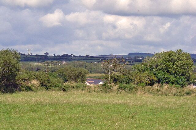
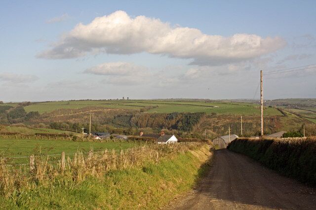
Trelech
Travel Guide


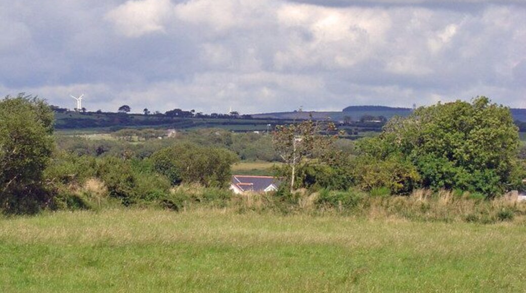
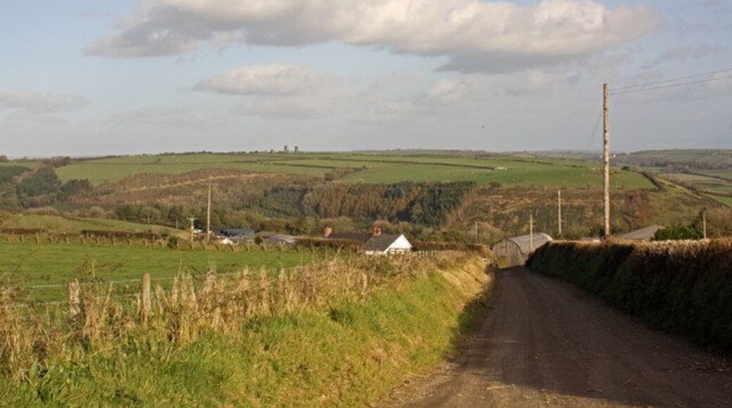
Visit Trelech

Stradey Park Hotel
Furnace Llanelli Wales
Book a stay at this golf hotel in Llanelli. Enjoy free WiFi, free parking, and breakfast (surcharge). Popular attractions Parc Howard Museum and Plas Llanelly ...

The Gower Hotel
Milford Terrace, Saundersfoot Saundersfoot Wales
The price is ₩199,694 per night from Jul 8 to Jul 9
₩199,694
₩239,641 total
Jul 8 - Jul 9
includes taxes & fees
Stay at this hotel in Saundersfoot. Enjoy free breakfast, free WiFi, and a garden. Popular attractions Tenby Beach and Monkstone Beach are located nearby.
8.6/10 Excellent! (26 reviews)
"Clean room but in need of a referb .staff and owner very nice and helpful ,the breakfast was excellent and parking was good .overall a nice stay in a lovely part of wales"
Reviewed on Jun 24, 2026

The Ivy Bush Royal Hotel By Compass Hospitality
11 Spilman Street Carmarthen Wales
The price is ₩137,083 per night from Jun 28 to Jun 29
₩137,083
₩164,500 total
Jun 28 - Jun 29
includes taxes & fees
Stay at this hotel in Carmarthen. Enjoy free WiFi, breakfast (surcharge), and 24-hour room service. Our guests praise the helpful staff in our reviews. Popular ...
8/10 Very Good! (480 reviews)
"Terrible from start to finish. The building is very tired, dated, and frankly a mess. The staff sometimes try their best to be attentive but struggle to even be polite. The leaks around the property are horrendous, often dripping water directly into your head when walking through a corridor or whatever. ..."
Reviewed on Jun 21, 2026
Lowest nightly price found within the past 24 hours based on a 1 night stay for 2 adults. Prices and availability subject to change. Additional terms may apply.

Nik The Greek
9-13 Stepney Road Burry Port Wales
Stay at this aparthotel in Burry Port. Enjoy free WiFi, free parking, and daily housekeeping. Popular attractions Burry Port Lighthouse and Pembrey Country Park ...
9/10 Wonderful! (59 reviews)
"Great stay! The restaurant has amazing food and the staff are amazing! I would definitely stay again"
Reviewed on May 31, 2026

The Studio - 1 Bedroom Cabin - Amroth
Amroth Bay Holidays, Amroth Narberth Wales
Stay at this apartment in Narberth. Enjoy free parking, furnished balconies, and cable TV channels. Popular attractions Tenby Beach and Battlefield Live Pembrokeshire ...
9/10 Wonderful! (6 reviews)
"Our experience was good settee was a bit uncomfortable, bed was was great not much room in the bath room"
Reviewed on Jun 29, 2025

Arcadia - 1 Bedroom Apartment - Tenby
Warren St Tenby Wales
Stay at this apartment in Tenby. Enjoy free WiFi and cable TV channels. Popular attractions Tenby Beach and Ocean Commotion are located nearby.
7.2/10 Good! (7 reviews)
Filthy
"This place is absolutely filthy, it doesn’t look as though it has been cleaned in over a year. We would not recommend and still waiting for a refund as we left early. Very disappointing. Hotels.com you should take this off your rentals"
Reviewed on Sep 6, 2025
Lowest nightly price found within the past 24 hours based on a 1 night stay for 2 adults. Prices and availability subject to change. Additional terms may apply.


