
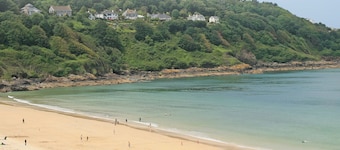
Brane
Travel Guide

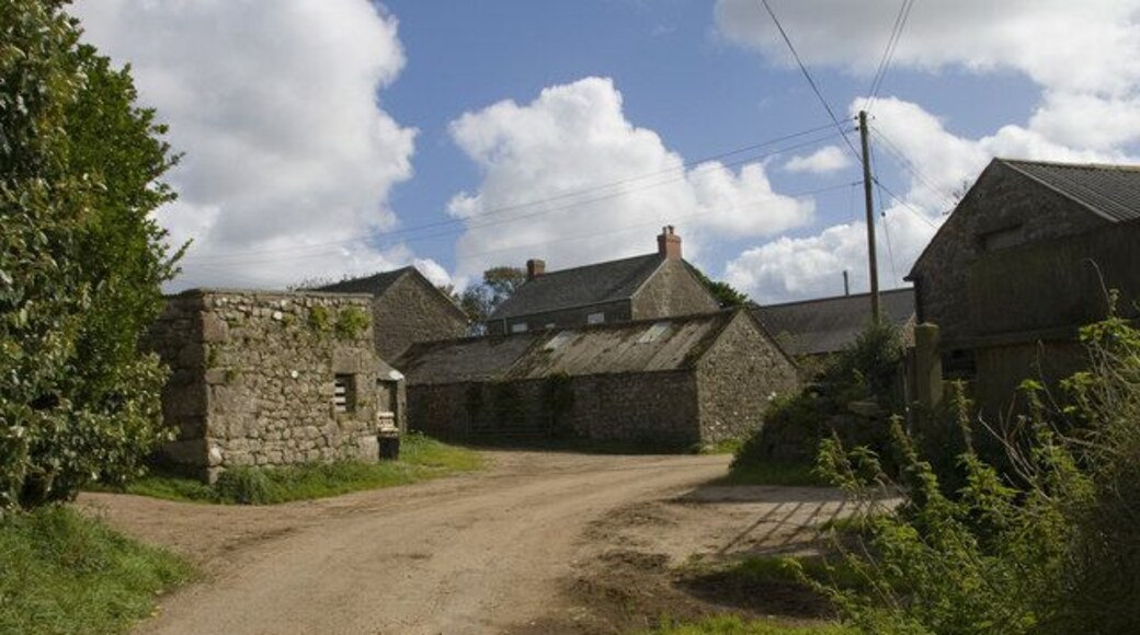
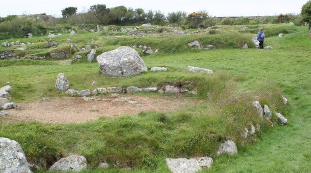

Visit Brane

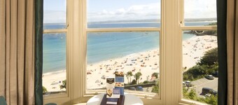
Tregenna Castle Resort
Tregenna Castle Estate St Ives England
The price is ₩350,418 per night from Aug 28 to Aug 29
₩350,418
₩420,502 total
Aug 28 - Aug 29
includes taxes & fees
Book a stay at this spa hotel in St Ives. Enjoy free WiFi, free parking, and an outdoor pool. Our guests praise the helpful staff and the clean rooms in our ...
8.6/10 Excellent! (1,010 reviews)
"Amazing place in St Ives. Stunning views and glorious to have an indoor and outdoor pool. Grab your swimsuit and holiday begins ."
Reviewed on Jul 29, 2026

The Queens Hotel
The Promenade Penzance England
The price is ₩293,491 per night from Aug 12 to Aug 13
₩293,491
₩352,190 total
Aug 12 - Aug 13
includes taxes & fees
Book a stay at this business-friendly hotel in Penzance. Enjoy free breakfast, free WiFi, and free parking. Our guests praise the helpful staff and the clean ...
8.2/10 Very Good! (733 reviews)
"The Queen’s Hotel is another beautiful historic property, and it’s clear that considerable effort is being made to preserve its character while gradually renovating it. Our room had some attractive design features and retained period furniture, although a few pieces were showing their age with minor ..."
Reviewed on Jul 27, 2026
The St Ives Bay Hotel
The Terrace, Cornwall St Ives England
The price is ₩116,092 per night from Aug 25 to Aug 26
₩116,092
₩139,310 total
Aug 25 - Aug 26
includes taxes & fees
Stay at this hotel in St Ives. Enjoy breakfast (surcharge), a 24-hour front desk, and daily housekeeping. Our guests praise the helpful staff and the clean rooms ...
6.6/10 (771 reviews)
"The only thing wrong is that the hotel needs upgrading, there were stains on the carpet in reception, as well as in the bar area, in some of the rooms as well. if you are an older guest or have mobility problems the room that we were in, had a bath, with a shower over but I could not access, no room ..."
Reviewed on Jul 27, 2026
Lowest nightly price found within the past 24 hours based on a 1 night stay for 2 adults. Prices and availability subject to change. Additional terms may apply.
5 Lyonesse Apartments
5 Lyonesse Apartments Talland Road St Ives England
Book a stay at this golf cottage in St Ives. Enjoy free WiFi and free parking. Popular attractions Porthminster Beach and St Ives Harbour are located ...
9.6/10 Exceptional! (9 reviews)
"This was a little gem, great location for train station and St Ives town. The accommodation was perfect for two people, well presented,very clean, well equipped and comfortable. I would not hesitate to book again."
Reviewed on Jul 17, 2026

Thomas Chambers
13-14 Chapel Street Camborne England
Book a stay at this golf cottage in Camborne. Enjoy free WiFi and free parking. Popular attractions Shire Horse Farm and Carriage Museum and Tehidy Country Park ...

Sennen Cove Cottages
Cove Road Penzance England
Stay at this apartment in Penzance. Enjoy free WiFi, free parking, and a garden. Popular attractions Porthcurno Beach and Minack Theatre are located nearby.
9.4/10 Exceptional! (18 reviews)
"A wonderful apartment in a wonderful location. Great for early morning walks to the beach, and if you want to explore, most things are a short driving distance for hikes and other breathtaking nearby beaches. If you plan on being in this part of Cornwall, you should definitely book this home. Geoff ..."
Reviewed on Aug 18, 2025
Lowest nightly price found within the past 24 hours based on a 1 night stay for 2 adults. Prices and availability subject to change. Additional terms may apply.


