
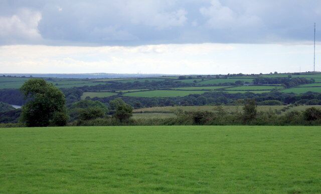
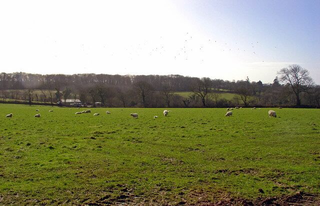
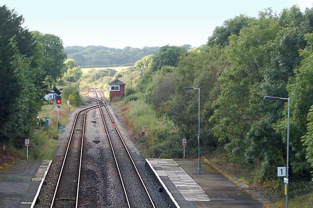
Clarbeston Road
Travel Guide

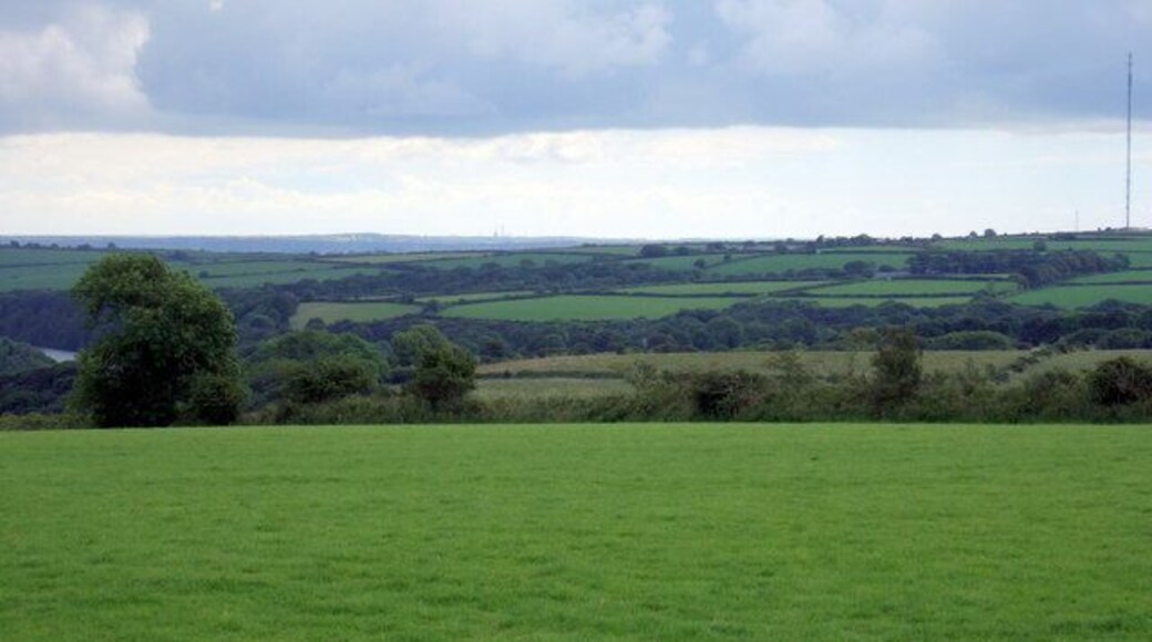


Visit Clarbeston Road

Tŷ Milford Waterfront
Nelson Quay Milford Haven Wales
The price is ₩141,302 per night from Jul 27 to Jul 28
₩141,302
₩169,562 total
Jul 27 - Jul 28
includes taxes & fees
Stay at this hotel in Milford Haven. Enjoy free WiFi, breakfast (surcharge), and a fitness center. Our guests praise the breakfast and the helpful staff in our ...
9.2/10 Wonderful! (841 reviews)
"Super, modern and clean hotel, ideally located in Milford Haven marina. Attentive staff and excellent quality dinners - the best kitchen we found in Milford. Free hotel parking across the road; the one small inconvenience is the lack of a luggage drop-off / loading point at front entrance."
Reviewed on Jun 27, 2026

The Gower Hotel
Milford Terrace, Saundersfoot Saundersfoot Wales
Fully refundableReserve now, pay when you stay
The price is ₩199,200 per night from Jun 30 to Jul 1
₩199,200
₩239,048 total
Jun 30 - Jul 1
includes taxes & fees
Stay at this hotel in Saundersfoot. Enjoy free breakfast, free WiFi, and a garden. Popular attractions Tenby Beach and Monkstone Beach are located nearby.
8.6/10 Excellent! (27 reviews)
"Good breakfast and easy parking"
Reviewed on Jun 26, 2026

Hotel Mariners
Mariners Square Haverfordwest Wales
The price is ₩189,922 per night from Jun 29 to Jun 30
₩189,922
₩227,906 total
Jun 29 - Jun 30
includes taxes & fees
Stay at this hotel in Haverfordwest. Enjoy free breakfast, free WiFi, and free parking. Our guests praise the helpful staff in our reviews. Popular attractions ...
8.8/10 Excellent! (352 reviews)
"There. Are a lot of steps and the handrails too short for the elderly or disabled I was scared at times"
Reviewed on Jun 26, 2026
Lowest nightly price found within the past 24 hours based on a 1 night stay for 2 adults. Prices and availability subject to change. Additional terms may apply.

The Little Retreat
Rosehill Kilgetty Wales
Stay at this apartment in Kilgetty. Enjoy free WiFi, free parking, and onsite spa services. Popular attractions Upton Castle and Upton Castle Gardens are located ...

The Studio - 1 Bedroom Cabin - Amroth
Amroth Bay Holidays, Amroth Narberth Wales
Stay at this apartment in Narberth. Enjoy free parking, furnished balconies, and cable TV channels. Popular attractions Tenby Beach and Battlefield Live Pembrokeshire ...
9/10 Wonderful! (6 reviews)
"Our experience was good settee was a bit uncomfortable, bed was was great not much room in the bath room"
Reviewed on Jun 29, 2025

Wernddofn
Wernddofn Boncath Wales
Stay at this cottage in Boncath. Enjoy free parking, a garden, and an indoor tennis court. Popular attractions Newcastle Emlyn Castle and Canolfan Hamdden Crymych ...
9.8/10 Exceptional! (57 reviews)
"Any absolute fantastic 6 night stay! We were greeted by Kate on arrival and Martin later on. The accommodation was lovely and clean and appreciated the little welcome pack (eggs, biscuits & milk. The bonus was the amazing weather we’ve had! There isn’t a local pub but we sat out on an evening and ..."
Reviewed on May 30, 2026
Lowest nightly price found within the past 24 hours based on a 1 night stay for 2 adults. Prices and availability subject to change. Additional terms may apply.


