
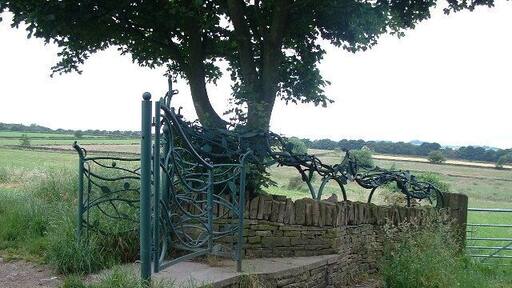
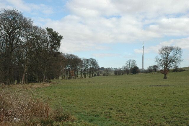
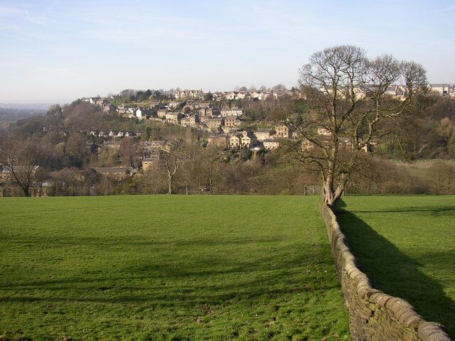
Kirkburton
Travel Guide

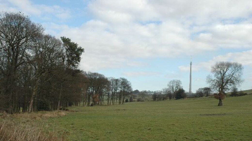
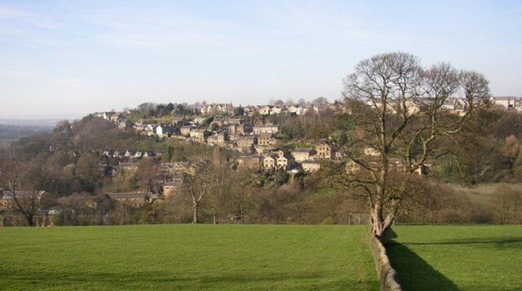


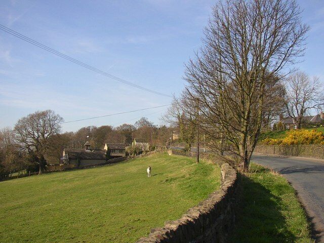
Visit Kirkburton
Leeds Marriott Hotel
"I've stayed in the leeds marriot several times, the rooms are spacious and the beds are comfortable. I would choose The Marriot over other hotels despite the cost being higher. It is situated perfect for the city centre shops and for The Briggate pubs and clubs which is the main reason for my stay. ..."
Reviewed on Jun 6, 2026

The Queens Hotel
"Excellent clean room"
Reviewed on Jun 6, 2026
Clayton Hotel Leeds
"Arrived at the hotel where there was plenty of on-site parking - a rare find in Leeds, and reasonably priced at £24 for the two nights. Greeted by receptionist who was warm and welcoming. No fuss check-in and the upgrade we were offered pre-check in was all confirmed. The room, as with everywhere ..."
Reviewed on May 31, 2026

Quebecs Luxury Aparthotel
"Good location and nice apartment for a few nights."
Reviewed on Jun 3, 2026

The Jubilee by Supercity Aparthotels
"Check in staff was helpful and friendly… great area and very clean"
Reviewed on Jun 5, 2026

Immaculate 1-bed Studio With Outside Patio
"Room was 5 star. Amenities fantastic. Great hosts. Quiet, spacious. Abundance of Tea, coffee, water, shower gel etc. Best stay ever. Will definately visit again."
Reviewed on Jan 28, 2026
Popular places to visit
John Smith's Stadium
Catch an event at John Smith's Stadium during your trip to Huddersfield. Attend a sporting event or simply enjoy the top-notch restaurants while you're in the area.
Huddersfield Town Hall
Learn about the local history of Huddersfield with a stop at Huddersfield Town Hall. Attend a sporting event or simply enjoy the top-notch restaurants while you're in the area.
University of Huddersfield
Enjoy the collegiate vibe at University of Huddersfield during your visit to Huddersfield. Attend a sporting event or simply enjoy the top-notch restaurants while you're in the area.
Castle Hill
Learn about the local history of Huddersfield when you take a trip to Castle Hill. Attend a sporting event or simply enjoy the top-notch restaurants while you're in the area.
Whistlestop Valley
Bring the kiddos to Whistlestop Valley and have a fun-filled day at this theme park in Clayton West. Check out the spas and top-notch restaurants in this quaint area.
Huddersfield Golf Club
Enjoy a round of golf in Huddersfield at Huddersfield Golf Club. Attend a sporting event or simply enjoy the top-notch restaurants while you're in the area.


