
Humbie
Travel Guide
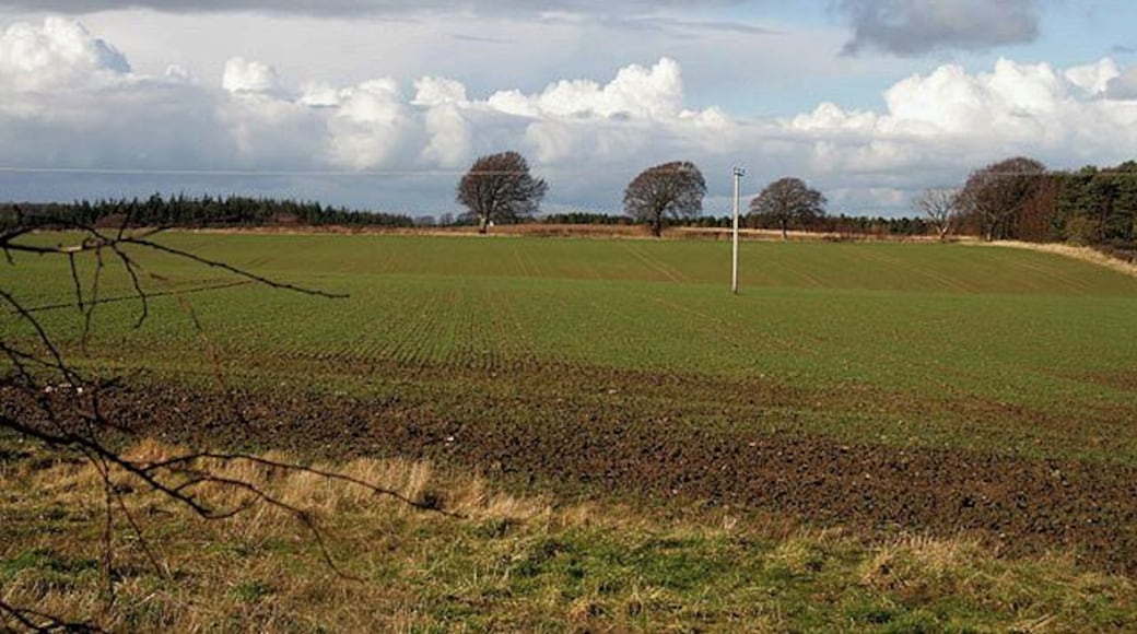
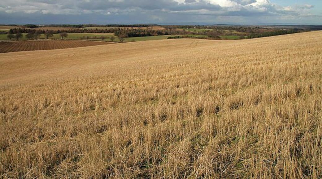


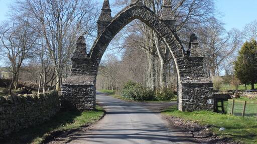
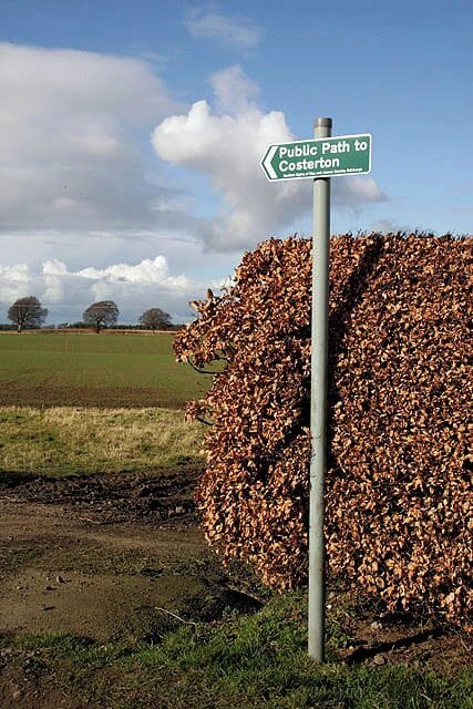
Visit Humbie

Apex Waterloo Place Hotel
23-27 Waterloo Place Edinburgh Scotland
The price is ₩364,580 per night from Jul 30 to Jul 31
₩364,580
₩459,361 total
Jul 30 - Jul 31
includes taxes & fees
Book a stay at this spa hotel in Edinburgh. Enjoy free WiFi, a full-service spa, and breakfast (surcharge). Our guests praise the breakfast and the pool in our ...
9.2/10 Wonderful! (2,115 reviews)
"No laundry facilities for guest use—only laundry service. Otherwise fabulous! The staff were so friendly and helpful. They allowed us to check in early in the morning, which was a lifesaver because we were wiped out from traveling. They helped us figure out how to use the train station when we were ..."
Reviewed on Jul 10, 2026

Apex Grassmarket Hotel
31-35 Grassmarket Edinburgh Scotland
The price is ₩440,448 per night from Aug 2 to Aug 3
₩440,448
₩554,964 total
Aug 2 - Aug 3
includes taxes & fees
Book a stay at this business-friendly hotel in Edinburgh. Enjoy free WiFi, breakfast (surcharge), and 24-hour room service. Our guests praise the breakfast and ...
9/10 Wonderful! (2,765 reviews)
"The room was comfortable. The towels were large. It said it was a superior room, but the noise from the street kept me from getting sleep. You have to keep the window open since there is no air conditioning. It would have been nice to have complimentary coffee. There was one cup for each day set ..."
Reviewed on Jul 10, 2026

Holiday Inn Edinburgh Zoo by IHG
132 Corstorphine Road Edinburgh Scotland
The price is ₩221,779 per night from Jul 31 to Aug 1
₩221,779
₩279,441 total
Jul 31 - Aug 1
includes taxes & fees
Book a stay at this spa hotel in Edinburgh. Enjoy free WiFi, free parking, and a full-service spa. Our guests praise the breakfast and the helpful staff in our ...
8.6/10 Excellent! (1,467 reviews)
"The rooms were not very clean. There is no coffee or tea service after 10 pm. Breakfast was very limited"
Reviewed on Jul 10, 2026
Lowest nightly price found within the past 24 hours based on a 1 night stay for 2 adults. Prices and availability subject to change. Additional terms may apply.

Holyrood Aparthotel
1 Nether Bakehouse Holyrood Edinburgh Scotland
Book a stay at this business-friendly aparthotel in Edinburgh. Enjoy free WiFi, breakfast (surcharge), and parking (surcharge). Our guests praise the helpful ...
8.8/10 Excellent! (2,018 reviews)
"Decent property, terribly slow and creepy elevator."
Reviewed on Jul 10, 2026

Aparthotel Adagio Edinburgh Royal Mile
231 Canongate Edinburgh Scotland
Stay at this aparthotel in Edinburgh. Enjoy free WiFi, breakfast (surcharge), and a 24-hour front desk. Our guests praise the breakfast and the helpful staff ...

Fraser Suites Edinburgh
Fraser Suites Edinburgh Edinburgh Scotland
Stay at this aparthotel in Edinburgh. Enjoy free WiFi, breakfast (surcharge), and a 24-hour fitness center. Our guests praise the helpful staff and the clean ...
9/10 Wonderful! (3,227 reviews)
"Great location, but if you have heavy luggages coming from train station good to take a taxi even though distance is short because uphill on old town. Under 10 about 6.50 pd. It’s wonderful location for 5 days stay as proximity to most attractions and nice restaurants are within 5-10mins walking ..."
Reviewed on Jul 10, 2026
Lowest nightly price found within the past 24 hours based on a 1 night stay for 2 adults. Prices and availability subject to change. Additional terms may apply.


