
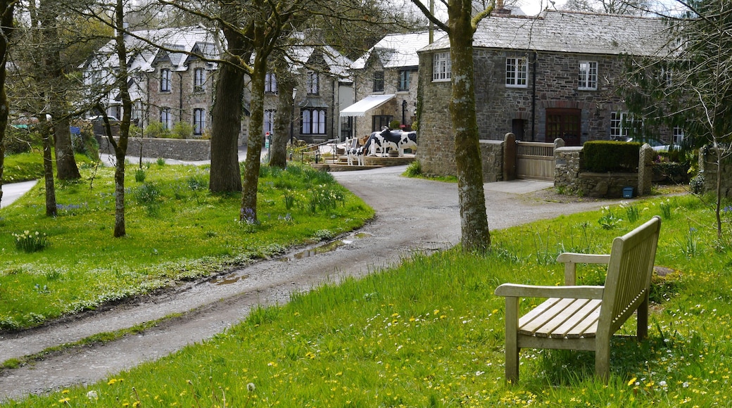


Visit Lewannick

Moxy Plymouth
14 MILLBAY ROAD Plymouth England
The price is ₩123,011 per night from Jul 26 to Jul 27
₩123,011
₩147,614 total
Jul 26 - Jul 27
includes taxes & fees
Book a stay at this business-friendly hotel in Plymouth. Enjoy free WiFi, breakfast (surcharge), and a fitness center. Our guests praise the helpful staff and ...
9.2/10 Wonderful! (852 reviews)
"Perfect for our stay in Plymouth, central to everything 😁"
Reviewed on Jul 13, 2026

Future Inn Plymouth
1 William Prance Rd Plymouth England
The price is ₩131,316 per night from Jul 19 to Jul 20
₩131,316
₩157,587 total
Jul 19 - Jul 20
includes taxes & fees
Book a stay at this business-friendly hotel in Plymouth. Enjoy free WiFi, free parking, and breakfast (surcharge). Our guests praise the helpful staff and the ...
9/10 Wonderful! (1,000 reviews)
"Staff very attentive. Had a couple of issues which was dealt with straight away."
Reviewed on Jul 13, 2026

Leonardo Hotel Plymouth
50 Exeter Street Plymouth England
The price is ₩129,661 per night from Jul 26 to Jul 27
₩129,661
₩155,593 total
Jul 26 - Jul 27
includes taxes & fees
Book a stay at this business-friendly hotel in Plymouth. Enjoy free WiFi, breakfast (surcharge), and room service. Our guests praise the breakfast and the helpful ...
8.6/10 Excellent! (1,052 reviews)
"Great location. Clean room. I was on the 5th floor and could hear noise from people hanging out down the street so didnt sleep well on busy nights"
Reviewed on Jul 15, 2026
Lowest nightly price found within the past 24 hours based on a 1 night stay for 2 adults. Prices and availability subject to change. Additional terms may apply.

Royal William Yard Apartments
Royal William Yard Plymouth England
Stay at this apartment in Plymouth. Enjoy parking (surcharge) and housekeeping. Popular attractions South West Coast Path Section 36 Trailhead and Mount Edgcumbe ...
9.8/10 Exceptional! (89 reviews)
"A fantastic location and perfect stsy"
Reviewed on Jul 4, 2026

Fox House, Studio Apartments
8-10 Whimple Street Plymouth England
Stay at this apartment in Plymouth. Enjoy a fitness center, parking (surcharge), and daily housekeeping. Popular attractions Merchant's House and Cineworld Plymouth ...
8.8/10 Excellent! (212 reviews)
"Good central location. Clean and good facilities. Fine for a couple of nights. Centrally located with plenty within easy walking distance. Let down by poor checking process where I was outside the property but with no instructions. Had to call thankfully all quickly resolved."
Reviewed on Jun 28, 2026

Sandy Toes Accommodation
23 Eastcliffe Road Par England
Stay at this apartment in Par. Enjoy housekeeping. Popular attractions Eden Project and South West Coast Path Section 33 Trailhead are located nearby.
9.4/10 Exceptional! (58 reviews)
"Starting the morning of arrival, Carla communicated all of the check-in details via email and text (super helpful) and was on-hand for any queries which was great when it came to parking. There is a Spar directly opposite and a Co-op at the bottom of the road in case you needed anything. Accommodation ..."
Reviewed on Jul 12, 2026
Lowest nightly price found within the past 24 hours based on a 1 night stay for 2 adults. Prices and availability subject to change. Additional terms may apply.


