
Maerdy
Travel Guide


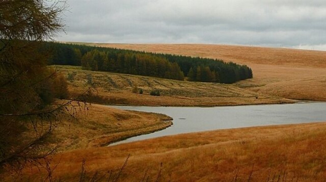
Visit Maerdy

The Parkgate Hotel
Westgate Street Cardiff Wales
The price is ₩206,061 per night from Jun 7 to Jun 8
₩206,061
₩247,281 total
Jun 7 - Jun 8
includes taxes & fees
Book a stay at this spa hotel in Cardiff. Enjoy free WiFi, a full-service spa, and breakfast (surcharge). Our guests praise the breakfast and the restaurant ...
9.4/10 Exceptional! (1,807 reviews)
"Staff were very helpful and friendly"
Reviewed on Jun 2, 2026

The Angel Hotel
Castle Street Cardiff Wales
The price is ₩97,712 per night from Jun 7 to Jun 8
₩97,712
₩117,255 total
Jun 7 - Jun 8
includes taxes & fees
Book a stay at this business-friendly hotel in Cardiff. Enjoy free WiFi, breakfast (surcharge), and 24-hour room service. Our guests praise the breakfast and ...
8.4/10 Very Good! (3,181 reviews)
"Very charming hotel with historical features; very very friendly staff; great location"
Reviewed on Jun 3, 2026

Delta Hotels by Marriott Swansea
Maritime Quarter Swansea Wales
The price is ₩160,086 per night from Jun 21 to Jun 22
₩160,086
₩192,103 total
Jun 21 - Jun 22
includes taxes & fees
Book a stay at this beach hotel in Swansea. Enjoy free WiFi, a beach locale, and breakfast (surcharge). Our guests praise the breakfast and the helpful staff ...
8.8/10 Excellent! (632 reviews)
"Attentive staff Comfy bed Just needs an improvement on the quality of food and wine"
Reviewed on Jun 3, 2026
Lowest nightly price found within the past 24 hours based on a 1 night stay for 2 adults. Prices and availability subject to change. Additional terms may apply.

Park Lane Aparthotel
23-24 Park Place Cardiff Wales
Stay at this apartment in Cardiff. Enjoy free WiFi, meeting facilities, and housekeeping. Popular attractions Cardiff Castle and Principality Stadium are located ...
7.8/10 Good! (71 reviews)
"Great stay. Lovely, modern, clean apartment. Only negative was the heat/temperature. There was a bit of a heatwave outside and the Dyson fan provided did nothing to cool the roasting apartment atmosphere. Aircon would have been welcomed but aside from that I would happily stay again (as long as there’s ..."
Reviewed on May 31, 2026

The Sleeping Giant - Pen Y Cae Inn
Pen Y Ace Inn Swansea Wales
Book a stay at this business-friendly vacation home in Swansea. Enjoy free WiFi, free parking, and premium bedding. Popular attractions Craig-y-Nos Country Park ...
9.6/10 Exceptional! (80 reviews)
"We had a lovely relaxing stay at a fantastic property in a beautiful part of the world. Staff were very friendly and helpful, room was very spacious and beautifully decorated with a small patio outside to chill. Food was great and we will certainly be returning."
Reviewed on Jun 1, 2026

Cwmbach Cottages
Cwmbach Road Neath Wales
Book a stay at this golf vacation home in Neath. Enjoy free WiFi, free parking, and a garden. Popular attractions Neath Golf Club and Aberdulais Falls are located ...
9.8/10 Exceptional! (82 reviews)
"Lawrence was very informative pleasant. The outdoor area was wonderful and they had lots of information for surrounding area. Well maintained and stocked"
Reviewed on May 18, 2026
Lowest nightly price found within the past 24 hours based on a 1 night stay for 2 adults. Prices and availability subject to change. Additional terms may apply.


