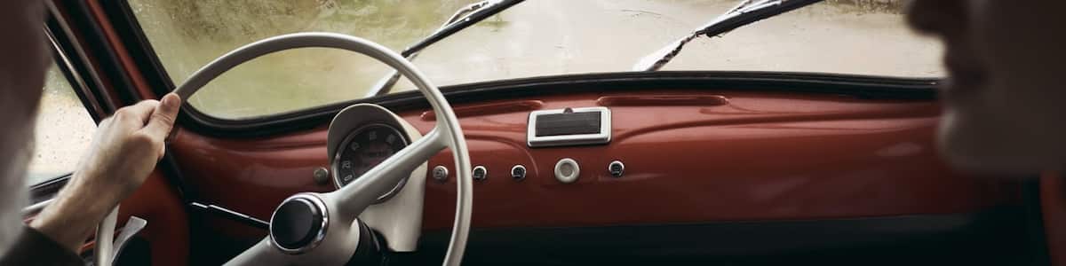
Car Rental Relief Map

Search and Compare from Car Companies in Relief Map

Compare car suppliers to unlock big savings, and package your flight, hotel, and car to save even more.

Members save 10% more on select hotels, cars, activities and vacation rentals. Sign up.

Enjoy maximum flexibility with penalty-free cancellation on most car rentals.

Frequently asked questions

Can I rent a car near Relief Map?
Yes, you can. With a car rental, you can head to Relief Map whenever you choose. You’ll also have more time to stop by other nearby attractions such as Estadio Nacional Mateo Flores, Guatemala City Hall and National Palace. Rent a car through Expedia and enjoy the quick and easy way to travel around Guatemala City and beyond.
What car rental companies are near Relief Map in Guatemala City?
You’ll find multiple near Relief Map. Don’t miss the bargains from Hertz, which is around 5 kilometers away. Expedia will help you book a perfect set of wheels for your Guatemala City adventure. Simply click on your travel dates, pick-up and drop-off points, then check the “Great Deal” box under our filter heading for exclusive offers from car rental companies.
How much is car rental near Relief Map?
Reserve a cheap car rental near Relief Map and cruise off with a terrific deal! Whether you’re looking for a midsize ride or a slick convertible, Expedia will help you land the best option for your budget from a range of car rental companies. Bear in mind that rates can differ according to factors like the class of car you rent, your pick-up and drop-off locations and vacation dates.
Which car rental companies have a drop off near Relief Map?
Consider Hertz, which has a rental car return depot close to Relief Map. There are some cool things to see and do in the area after you drop your rental car at Relief Map. Many car rental companies will charge an extra fee if you select different drop-off and pick-up locations, so bear that in mind when planning your getaway.
How much is parking near Relief Map?
Search for prices for parking at Relief Map on the official website. While you’re there, see if there are any discount offers or free parking at Relief Map.
Are there electric car charging stations near Relief Map?
With the help of apps and online search tools, you can quickly discover if there are electric car charging stations close to Relief Map. If you want the most convenient option, look up our range of hotels with electric car charging stations.
What is the closest airport to Relief Map?
Touch down at La Aurora Intl. Airport (GUA), which is approximately 13 kilometers south of Relief Map and the closest major airport near this key attraction. Whether you get a car rental at an airport or another convenient location, you’ll have the freedom to explore without depending on public transportation.
Where is Relief Map in Guatemala City?
You’ll need to travel about 10 kilometers south of central Guatemala City to get to Relief Map.
What time does Relief Map open and close?
Look up the official website for Relief Map for details about opening and closing times. Bear in mind that hours can vary depending on the day of the week, public holidays or special events, so check the information before you make tracks.
Why should I rent a car with Expedia to visit Relief Map?
Awesome deals are just the beginning of the reasons you should rent a ride with Expedia. We’ll help you find the ideal car for your journey, and when you bundle it with your hotel and airfare, you’ll save even more! Join Expedia Rewards for free and you can also earn points that equal savings on future travel. Looking for flexibility with your Relief Map car rental? Filter your search for deals that come with free cancellation.