
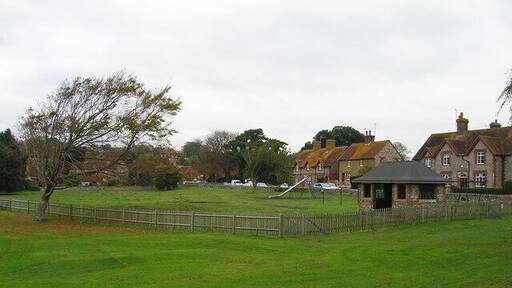
링머
여행 가이드

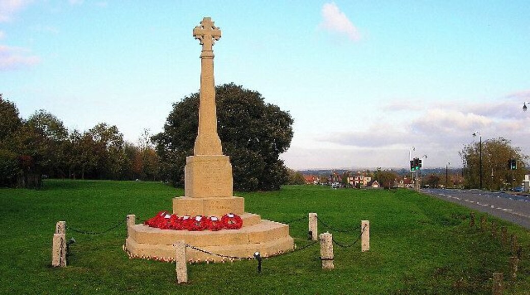


링머 여행 정보

힐튼 런던 개트윅 에어포트
South Terminal Gatwick Airport Gatwick England
8월 9일부터 8월 10일까지 요금은 1박당 ₩207,706입니다.
₩207,706
총 요금: ₩249,247
8월 9일 ~ 8월 10일
세금 및 수수료 포함
개트윅의 출장 여행에 좋은 호텔입니다. 무료 WiFi, 2 개 레스토랑, 2 개 바/라운지 등의 편의 시설/서비스를 이용하실 수 있죠. 특히 아침 식사, 레스토랑 등이 고객들로부터 좋은 반응을 얻고 있습니다. 주변��에 아치웨이 극장, Acorns Health & Leisure 같은 ...
9/10 매우 훌륭함! (이용 후기 4,429개)
"Covienient to the airport,safe and good breakfast."
후기 작성 날짜: 2025년 5월 5일

블록 호텔 런던 개트윅 에어포트
South Terminal, Gatwick Airport Gatwick England
8월 2일부터 8월 3일까지 요금은 1박당 ₩216,101입니다.
₩216,101
총 요금: ₩259,321
8월 2일 ~ 8월 3일
세금 및 수수료 포함
개트윅에 있는 이 호텔에 숙박해 보세요! 무료 WiFi, 24시간 운영 프런트 데스크, 매일 하우스키핑 등의 편의 시설/서비스를 이용하실 수 있죠. 특히 친절한 고객 서비스, 청결한 객실 등이 고객들로부터 좋은 반응을 얻고 있습니다. 주변에 아치웨이 극장, Acorns Health ...
8.8/10 훌륭함! (이용 후기 5,090개)
쏘쏘
"공항과의 접근성은 훌륭함. 다만 공항 호텔이라는 특성상 방의 크기나 상태등은 가격대비 만족도가 좀 떨어짐"
��후기 작성 날짜: 2025년 9월 17일

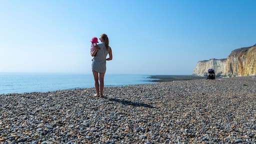
더 그랜드 브라이튼
97-99 King's Road Brighton England
8월 3일부터 8월 4일까지 요금은 1박당 ₩257,659입니다.
₩257,659
총 요금: ₩309,190
8월 3일 ~ 8월 4일
세금 및 수수료 포함
브라이턴의 출장 여행에 좋은 호텔입니다. 무료 WiFi, 24시간 룸서비스, 피트니스 센터 등의 편의 시설/서비스를 이용하실 수 있죠. 특히 아침 식사, 바 등이 고객들로부터 좋은 반응을 얻고 있습니다. 주변에 브라이턴 해변, 브라이튼 피어 같은 인기 명소가 있어 관광을 즐기기에도 ...
9.2/10 매우 훌륭함! (이용 후기 1,613개)
"Staff were very friendly, rooms were very clean and modernized. Hotel itself is more dated but that adds to the charm. Not having an outdoor space/terrace was a shame given the beautiful weather. More of a formal hotel compared to other boutique hotels. Lovely stay overall, a cool experience to stay ..."
후기 작성 날짜: 2026년 7월 15일
표시된 요금은 지난 24시간 이내 성인 2명 1박 기준 최저가입니다. 요금과 예약 가능 여부는 변경될 수 있으며, 추가 약관이 적용될 수 있습니다.

누마 브라이튼 파빌리온
17 Jubilee Street Brighton England
브라이턴의 부티크 아파트식 호텔입니다. 무료 WiFi, 아침 식사(요금 �별도), 위성 TV 채널 등의 편의 시설/서비스를 이용하실 수 있죠. 특히 친절한 고객 서비스, 청결한 객실 등이 고객들로부터 좋은 반응을 얻고 있습니다. 주변에 브라이턴 해변, 브라이튼 피어 같은 인기 명소가 ...
오스본 아파트
31 Carlisle Road Eastbourne England
이스트본에 있는 이 아파트식 호텔에 숙박해 보세요! 무료 WiFi, 하우스키핑 등의 편의 시설/서비스를 이용하실 수 있죠. 특히 친절한 고객 서비스 등이 고객들로부터 좋은 반응을 얻고 있습니다. 주변에 데번셔 파크 론 테니스 클럽, 세븐 시스터즈 같은 인기 명소가 있어 관광을 즐기기에도 ...
8.8/10 훌륭함! (이용 후기 121개)
"장기로 머물기 좋아요. 요리를 할 수 있는 키친이 있어서 좋아요. 세탁기도 활용하기 좋아요. 단 침대가 더불사이즈라 그게 불편했으니 참고하세요. 내년에는 더불과 싱글 2개있는 프리미엄으로 예약하려고요"
후기 작성 날짜: 2026년 7월 11일

Q 스퀘어 바이 수퍼시티 아파트호텔
11 Queen Square Brighton England
브라이턴에 있는 이 아파트식 호텔에 숙박해 보세요! 무료 WiFi, 피트니스 센터, 24시간 운영 프런트 데스크 등의 편의 시설/서비스를 이용하실 수 있죠. 주변에 브라이턴 해변, 브라이튼 피어 같은 인기 명소가 있어 관광을 즐기기에도 좋아요.
9.6/10 최고 좋음! (이용 후기 370개)
"Very clean and great stay. Very approachable staff that helped with a smile. Would definitely stay again."
후기 작성 날짜: 2026년 7월 12일
표시된 요금은 지난 24시간 이내 성인 2명 1박 기준 최저가입니다. 요금과 예약 가능 여부는 변경될 수 있으며, 추가 약관이 적용될 수 있습니다.


